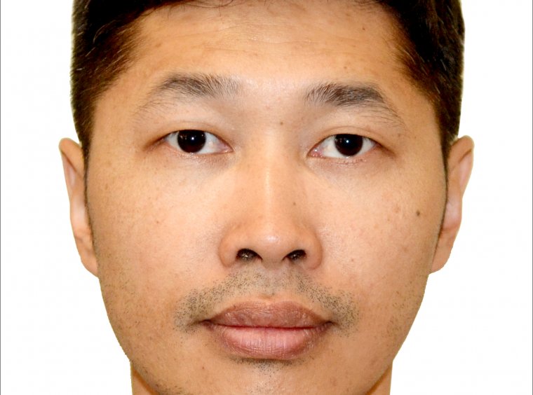
Dr. Batnyambuu Dashpurev
postdoctoral researcher
Short bio:
I am an experienced Postdoctoral Researcher with expertise in environmental impact assessment, environmental monitoring, GIS, remote sensing, data analysis, and grassland ecology. My research focuses on investigating the effects of climate change and management on grassland ecosystems and the impact of grassland management on soil carbon storage. Additionally, I am particularly interested in characterizing vegetation in grasslands and identifying the spatial, temporal, and magnitude of disturbances using remote sensing techniques.
Current working project:
SUSALPS – Sustainable use of alpine and pre-alpine grassland soils in a changing climate
CARBOGRASS – Impact of grassland management on soil carbon storage
Previous project involvement at LMU Munich:
MORE STEP – Mobility at risk: Sustaining the Mongolian Steppe Ecosystem
Education:
10/2018-09/2022 Doc. rer. nat. in Geography, Department of Geography, Ludwig-Maximilians-University Munich, Germany
09/2011-06/2013 M.Sc. in Environmental science, Department of Geography, National University of Mongolia, Ulaanbaatar, Mongolia
09/2007-06/2011 BSc in Geography, School of Earth science, National University of Mongolia, Ulaanbaatar, Mongolia
Publications (peer-reviewed):
Dashpurev, B.; Bendix, J.; Lehnert, L.W. Monitoring oil exploitation infrastructure and dirt roads with object-based image analysis and random forest in the Eastern Mongolian
Steppe. Remote Sensing. 2020, 12, 144. https://doi.org/10.3390/rs12010144
Dashpurev, B.; Wesche, K.; Jäschke, Y.; Oyundelger, K.; Phan, T.N.; Bendix, J.; Lehnert, L.W. A cost-effective method to monitor vegetation changes in steppes
ecosystems: A case study on remote sensing of fire and infrastructure effects in eastern Mongolia. Ecological Indicators. 2021, 132, 108331.
https://doi.org/10.1016/j.ecolind.2021.108331
Phan, T.N.; Dashpurev, B.; Wiemer, F.; Lehnert, L.W. A simple, fast, and accurate method for land cover mapping in Mongolia. Geocarto International, 2022.
https://doi.org/10.1080/10106049.2022.2087759
Dashpurev, B.; Phan, T.N.; Bendix, J.; Lehnert, L.W. Estimating fractional vegetation
cover and aboveground biomass for land degradation assessment in eastern Mongolia
steppe: combining ground vegetation data and remote sensing. International Journal of Remote Sensing. 2023, 44:2, 452-468. https://doi.org/10.1080/01431161.2023.2165421
Email: Batnyambuu.dashpurev@kit.edu
Telephone: +49 170 504 2338